
 EN
EN  CN
CN ES
ES PT
PT SV
SV DE
DE TR
TR FR
FR AR
AR BG
BG HR
HR CS
CS DA
DA NL
NL FI
FI EL
EL HI
HI IT
IT JA
JA KO
KO NO
NO PL
PL RO
RO RU
RU CA
CA TL
TL IW
IW ID
ID
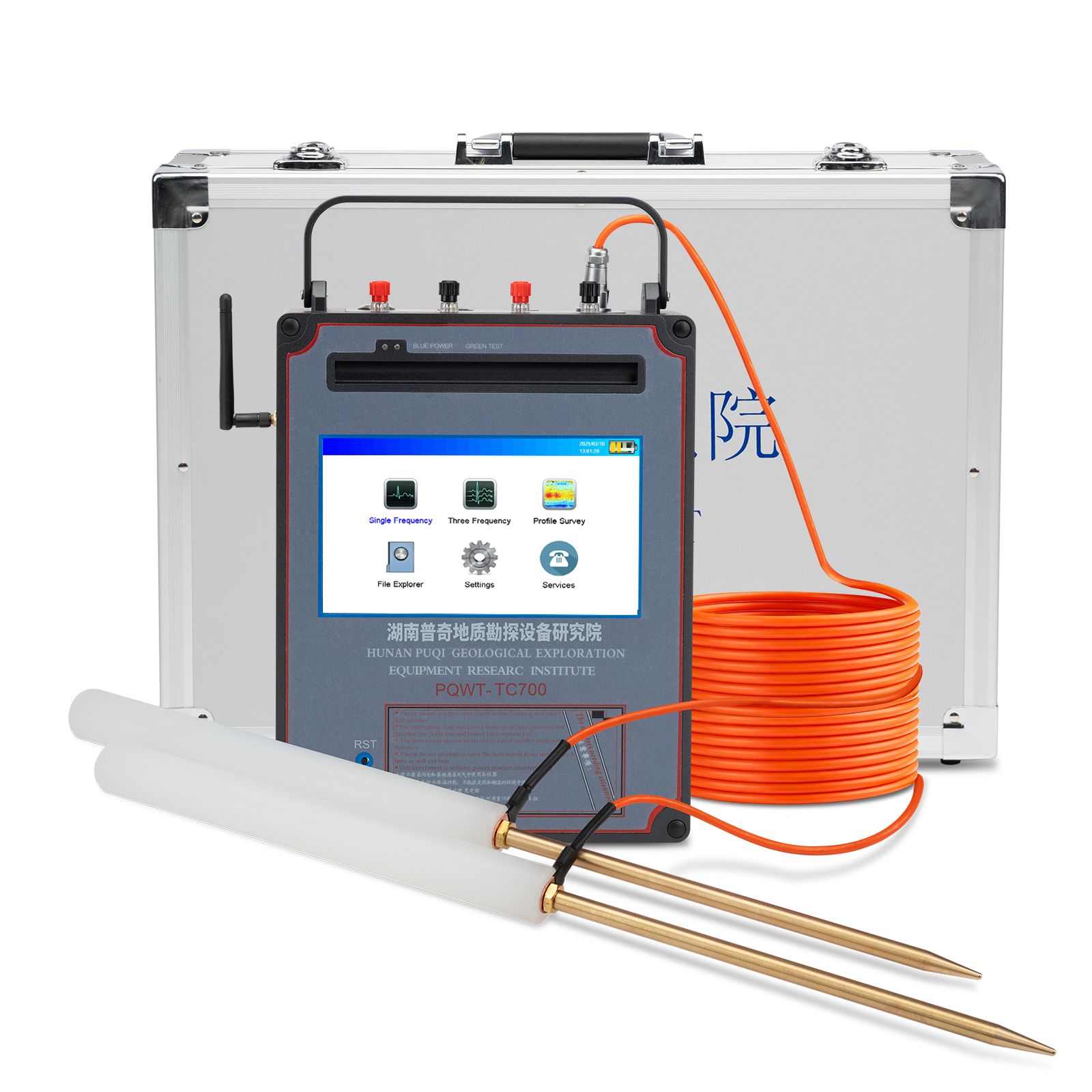
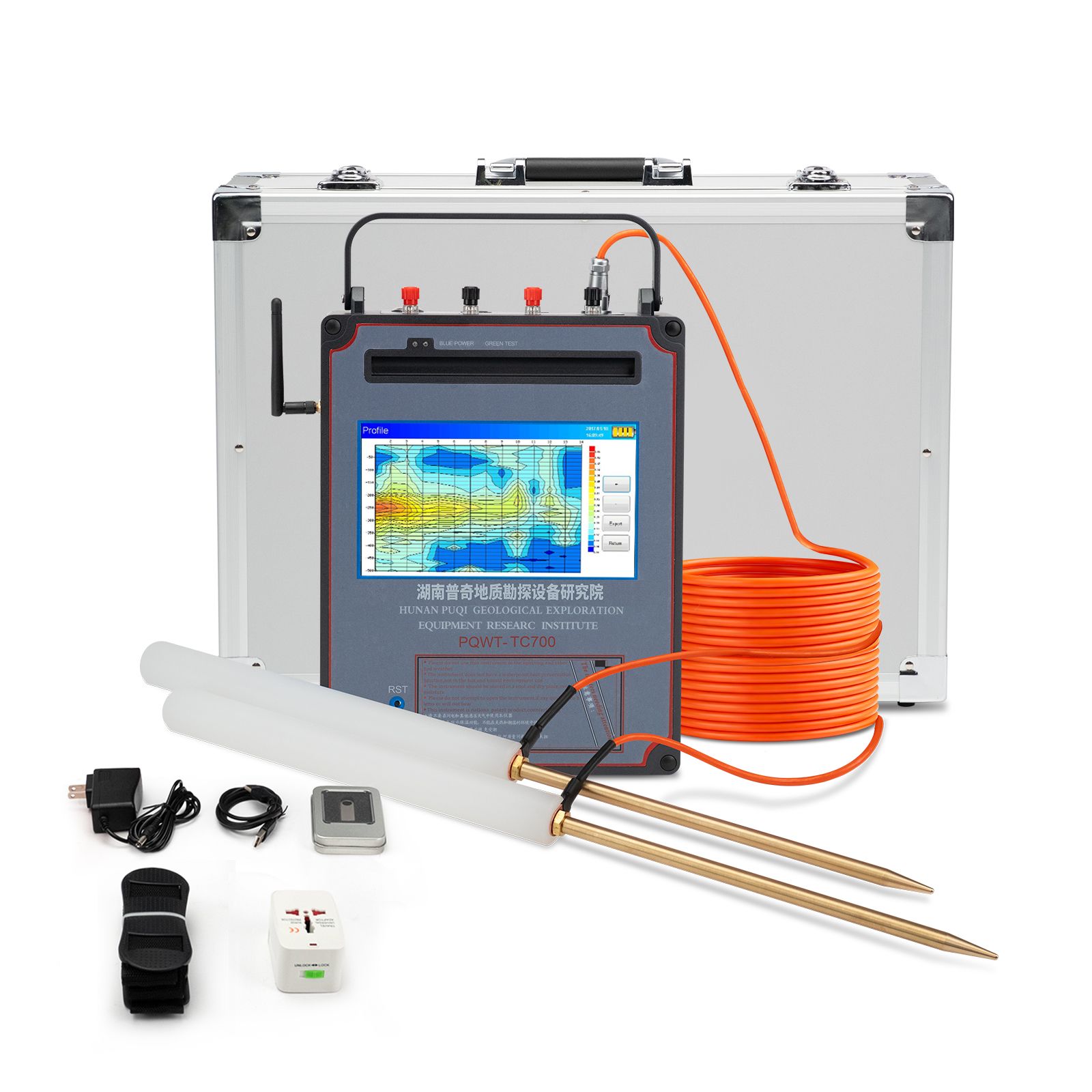
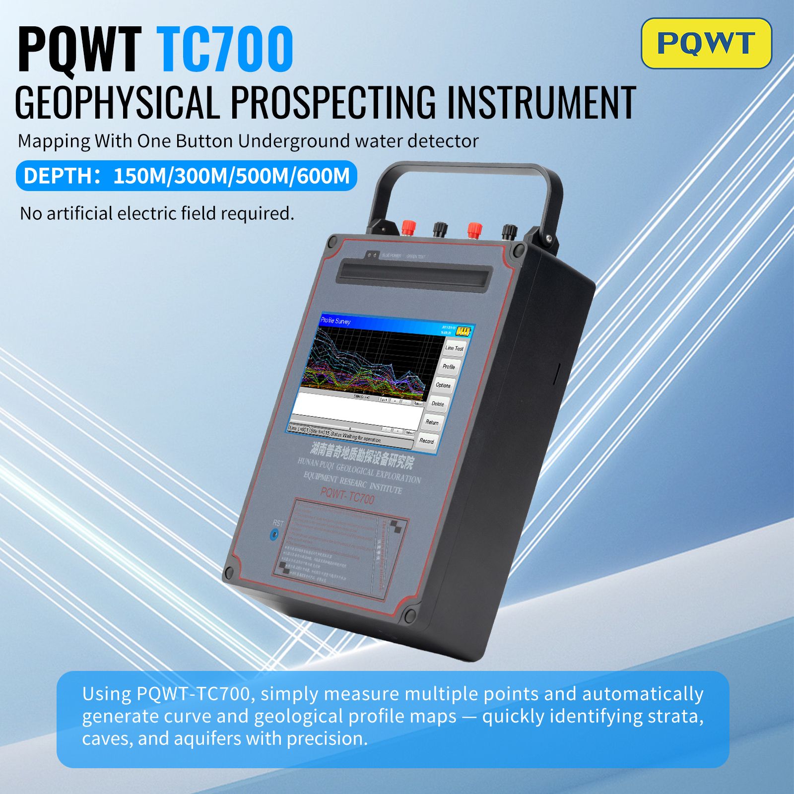


PQWT-TC700 ur-detektagailu automatikoa 150/300/500/600m sakonerako
| Marka izena: | PQWT |
| Model zenbakia: | PQWT-TC700 |
| Gutxieneko Orden Kopurua: | 1 unitateak |
| Packaging Details: | 10kg |
| Delivery Time: | stock |
| Delivery Time: In stock Ordainketa baldintzak: |
Bank transfer; credit card; paypal; western union |
| Hornitzeko gaitasuna: | 1000 unitate hilean |
| Jatorrizko lekua: | Txina |
| Ziurtagiria: | CE, ISO |
DESCRIPTION
PQWT-TC700 Automatic mapping water detector
It is based on the field source of earth's electromagnetic field and differences in conductivity of
different underground geological structures, to study the variation law of electric field
components at different frequencies to study the geological structure and changes. Changes in
geological structure are displayed in real-time through multiple curves. Automatic mapping
geological profile by one key operate easily, get rid of complicated computer graphics.
Geological structure and specific information such as aquifers, fractures, faults, and caves can be
easily analyzed through automatic mapping curve and profile on site . The device can be widely
used in different terrains such as plains, hills, mountains, plateaus, and basins for rapid analysis
of geological structure changes and determines the well locations, aquifers, and aquifer depth.
zehaztapenak
Technical Paremeter
| Model | PQWT-TC700 |
| Measuring depth | 0-150/300/500/600m |
| Measuring frequency | Single frequency, three frequency, 20/40/56/68 frequency |
| Energia hornidura | Battery Model 26650*2pcs # 4000mAh Rechargeable lithium battery |
| A / D bihurketa | 16-bit 1Msps |
| Neurketa eremua | 0mV-2000mV The instrument automatically switches the range |
| Zehaztasuna neurtzea | 0.001 mV |
| Measurement channel | Zortzi kanal |
| Unit of measurement data | The electric field components of different frequencies of the earth electromagnetic field △Vs (mV) |
| Channel gain | 0 ~ 500,000 aldiz |
| Hizkuntzak | English; Spanish; French; Arabic; Russian; Polish |
| Energia-kontsumoa | About 4W |
| Display | Industrial-grade 7-inch high-definition digital touch LCD screen |
| Lanorduak | 6 8-ordu |
| G.W/Shipping | G.W: 8KG, DHL/UPS/ Fedex to door service |
Lehiatzeko abantaila
1. Egokia izatea lautada, muino, mendi lur, goi mendigune, arro egitura geologiko mota guztietako aplikazioetarako;
2. Kartografia automatikoa tresnan, zulaketa posizioa eta sakonera emaitza lortu gunean.
3. Erabiltzaile talde profesionalak 24 orduko zerbitzua eskaintzen du.
4. Erabiltzaileen iritzien% 92 baino gehiagoko batez besteko zehaztasuna.
5. Six languages including English/Spanish/French/Arabic/Russian/Polish,are optional.
We can custom the language.
6. Ura edateko, nekazaritzako ureztapen urak hautemateko oso erabilia da.
7. Profesionalak ez direnek 5 minututan ikas dezakete funtzionamendua.
8. only 1-2 people can operate.
9. Bi urteko bermea.
Video
